
The next Panel presentation will be deliver by three highly skilled operators and managers that have extensive experience in the deployment and analysis of drones in Water Engineering. We are being hosted by the Bureau of Metereology at their Elizabeth Street facility on 27th August 2019. Free for members ($30 for non-EA or BoM) but please pre-register and check out the PDF flyer for all the details.
This presentation will be delivered in three parts followed by a Q&A style session with all three presenters. Across the three sections of this talk we will cover:
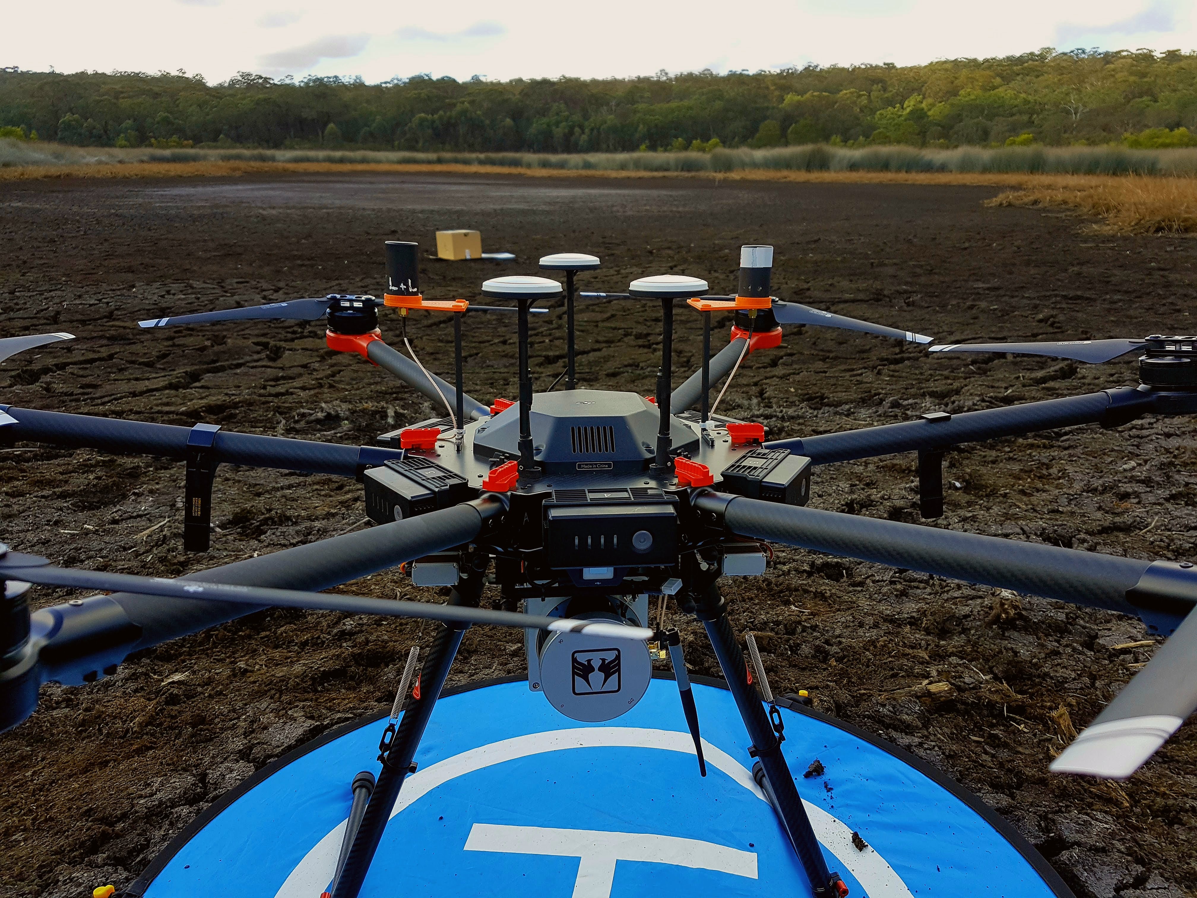
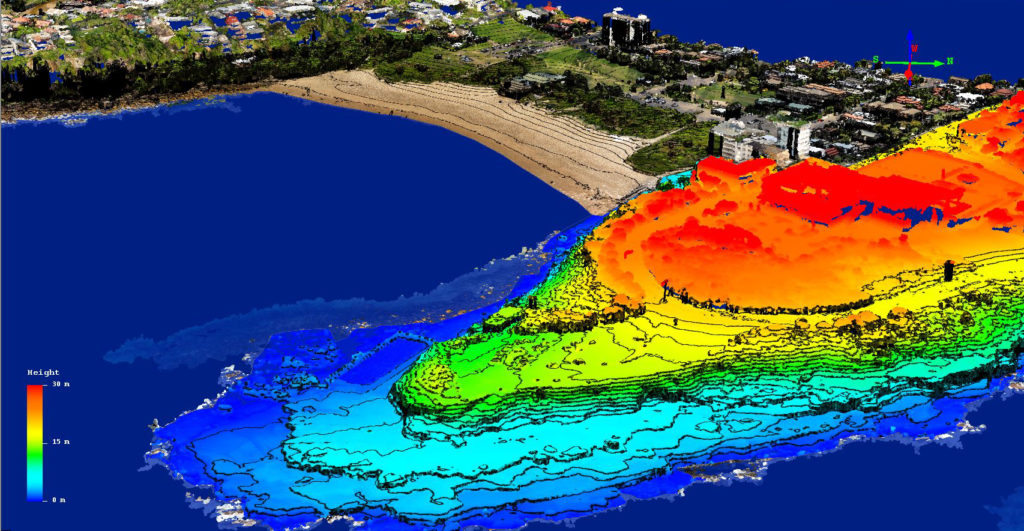
- Introduction of the concept of heights and heighting systems and the relationship to modern means of measuring height. This will then be extended into key features of surveying with UAVs and what to look out for to ensure highest accuracy results.
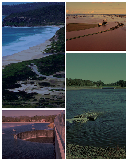
- Showcase examples of drone technology in the water engineering sector including the use of multispectral imagery for wetland restoration in Newcastle, operation of a drone in the most congested airspace in Australia for asset inspection of Port Botany and hydrodynamic monitoring of a fringing reef lagoon in the Cook Islands.
- Introduction of the various drone usages in Sydney Water with a focus on a case study using a ‘water sampling drone’. This drone was developed to remotely collect up to 2L of water for analysis from locations with difficult access.
Keynote Speakers
Dr Craig Roberts – UNSW Sydney Craig bridges the gap between teaching and research, industry and academia of modern high technology precision GNSS positioning and its practical application. Current research interests include the implications of datum modernisation and leveraging multi-GNSS CORS infrastructure for practical application to surveying and geospatial engineering as well as applications of UAVs for high precision mapping.
Chris Drummond – UNSW Water Research Laboratory Chris is an industry expert in the application of remote sensing techniques such as drone technology to solve the complex problems faced by the water engineering sector. He has experience conducting over 500 drone flights using aerial photogrammetry, multispectral sensors and drone-based LiDAR.
Tim Hill – Sydney Water Tim is an Environmental Scientist at Sydney Water since 2007. He has experience in field and laboratory water quality analysis, water operations and regulatory compliance and reporting.
Details
Bureau of Meteorology Level 15
300 Elizabeth Street Surry Hills
27th August 2019
Register/Network from 5:30pm
Formal Start: 6:00pm
Members, BoM staff & Students Free
Non-members $30
Registrations close26th August 2019
Places are limited
1.5hours CPD
Leave a Reply