Start time 12.00pm AEDT 1st November 2021. Free for members but you must pre-register.
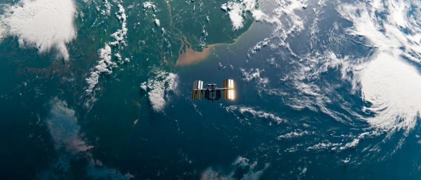
This seminar will outline opportunities and challenges in using satellite remote sensing data in water engineering. A new evapotranspiration product developed by CSIRO will be presented.

Abstract
This seminar will present an overview of state-of-the-art satellite remote sensing technologies and opportunities followed by a presentation on the monthly Actual Evapotranspiration product recently developed by CSIRO which blends multiple satellite products to ensure that there are no gaps in the data due to clouds. Attendees will learn how to access remotely sensed data, some of the common challenges and pitfalls related to its use and opportunities it provides for improved water engineering design and decision making.
Speakers
Fiona Johnson
Scientia Associate Professor – Water Research Centre, UNSW
Fiona Johnson is Scientia Associate Professor at University of New South Wales based in the Water Research Centre, in the School of Civil and Environmental Engineering. She has over 20 years’ experience in water resources and civil engineering working as a consultant, for government and in academia. Fiona’s areas of research interest are in statistical hydrology, particularly with respect to flooding and extreme events, the use of new data sources as well as the use of global climate models for climate change assessments of water resources systems.
Tim McVicar
Research Scientist, CSIRO Land and Water
Dr Tim McVicar leads the Time Series Remote Sensing team within the Environmental Earth Observation group of the Environmental Sensing, Prediction and Reporting theme of CSIRO Land and Water. Tim is a spatial eco-hydrologist with over 19 years research experience in the use of time series remote sensing (in particular AVHRR, Landsat and EO-1 data) linked with spatio-temporal interpolation methods and analysis technologies to model and monitor regional eco-hydrological processes. Tim leads both national and international projects aimed at better monitoring and modelling moisture availability, actual evapotranspiration and vegetation dynamics. By assessing the patterns of these variables (in space and time) the catchment water balance (including catchment water yield) can be better simulated.


Leave a Reply